★★★★★ Rated 4.5/5 — 204 Google reviews · 576 reviews · 5.0/5 on Tripadvisor · Written by a licensed Marrakech tour operator, on the road since 2011
What are the physical features of Morocco? Four mountain ranges, two coastlines and the edge of the Sahara, packed into a country the size of California: the Rif arcs green along the Mediterranean; the Middle Atlas carries Africa’s great cedar forests; the High Atlas crowns North Africa at Mount Toubkal (4,167 m); and the volcanic Anti-Atlas fades south into the desert, where the sand seas of Erg Chebbi and Erg Chigaga begin. Between and around them run the Atlantic plains that feed the country, rivers like the Draa — Morocco’s longest — and roughly 3,500 km of coastline split between a short Mediterranean shore and a long Atlantic one, the two meeting at the Strait of Gibraltar, just 14 km from Europe at its narrowest. This guide maps every major landform, explains why a two-week route changes climate five times, and answers the geography questions travellers and students ask most.
The four mountain ranges, north to south
| Range | Character | High point | Where you meet it |
|---|---|---|---|
| Rif | Green, steep, Mediterranean — Chefchaouen’s backdrop | Jbel Tidighine (≈2,450 m) | Chefchaouen, Akchour waterfalls, the northern routes |
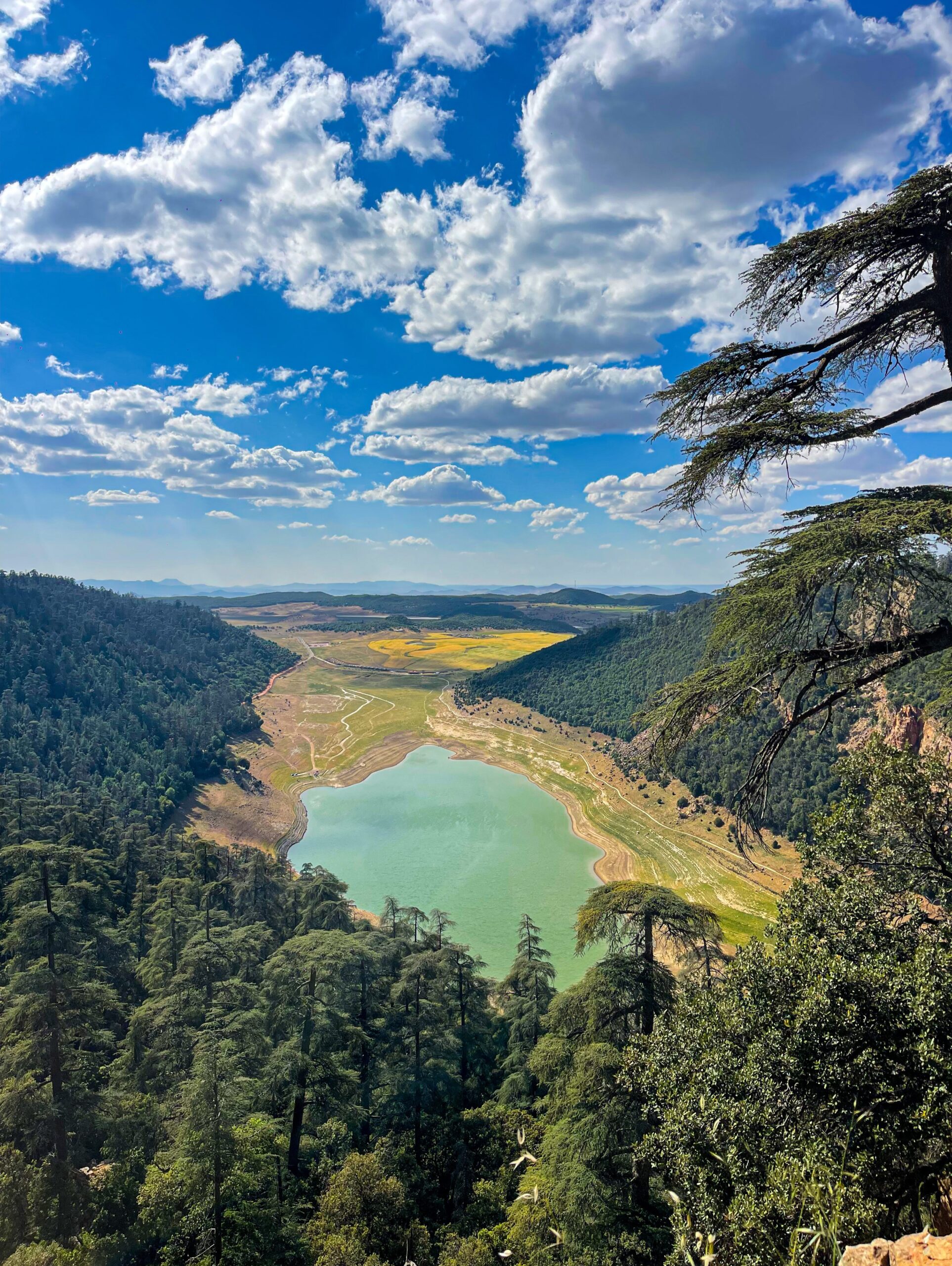
| Middle Atlas | Cedar forests, lakes, Barbary macaques, ‘Little Switzerland’ at Ifrane | Jbel Bou Naceur (≈3,340 m) | The Fes–Sahara road; Ifrane and Azrou |
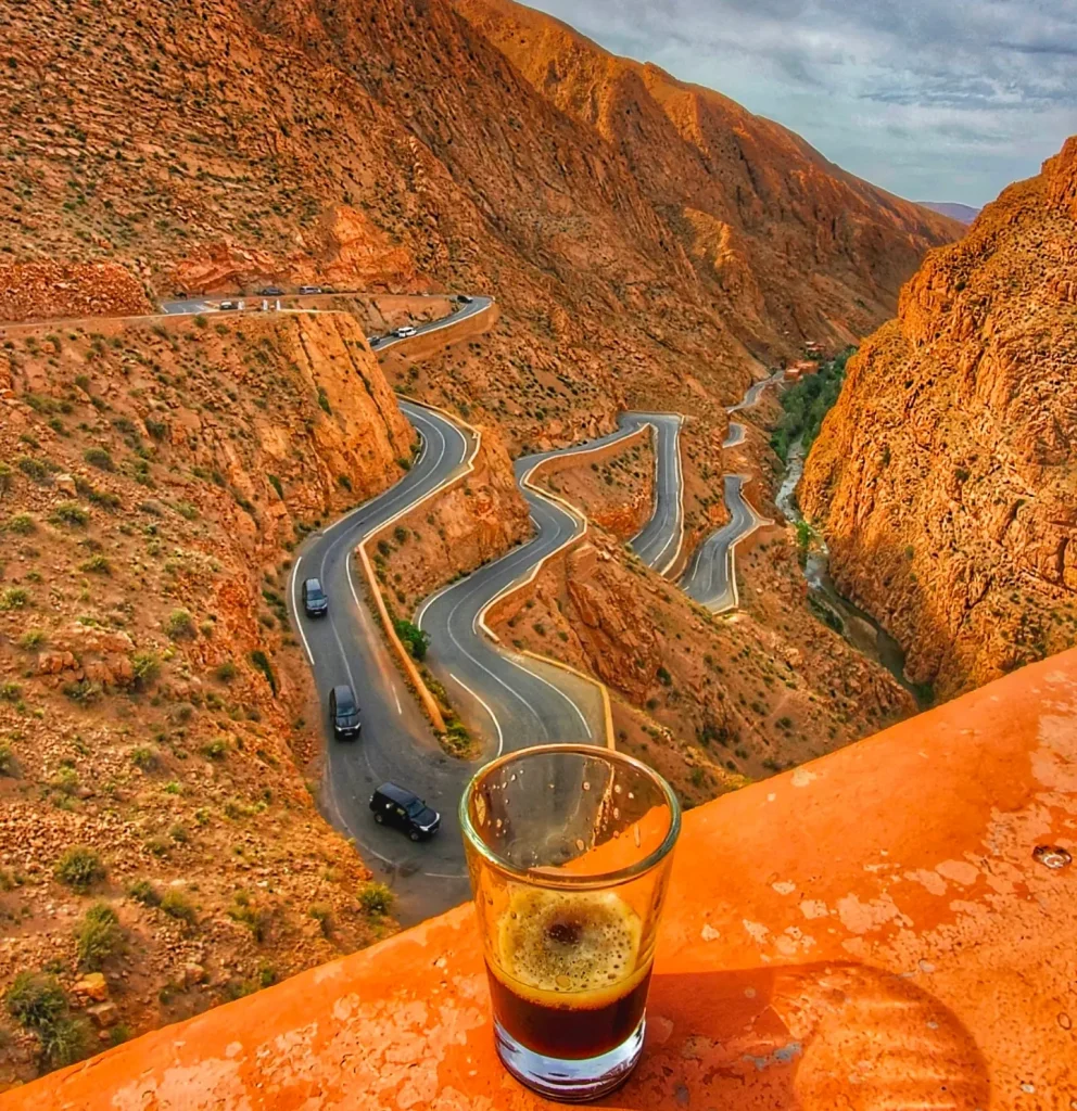
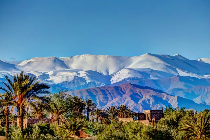
| High Atlas | North Africa’s roof — snow into late spring, Berber valleys | Mount Toubkal, 4,167 m | The Tizi n’Tichka pass, Imlil, every Marrakech–desert crossing |
| Anti-Atlas | Ancient, arid, mineral — the desert’s doorstep | Jbel Sirwa (≈3,300 m, volcanic) | Taroudant, Tafraoute, the deep-south routes |
The deserts: what ‘Sahara’ means here
Morocco holds the Sahara’s north-western edge, not its endless middle — and that edge comes in three distinct forms travellers constantly confuse. The ergs are the sand seas of the postcards: Erg Chebbi at Merzouga (dunes to ~150 m) and the wilder Erg Chigaga beyond M’Hamid. The hamada is the stone desert that actually covers most of the Moroccan Sahara — the lunar plateaus you cross for hours on the southern roads. And the Agafay, 45 minutes from Marrakech, is a pocket of stone desert that lets you touch the aesthetic without the distance. Only the far south-east is true desert; most of Morocco is mountain, plain and coast.
Rivers, oases and the water map
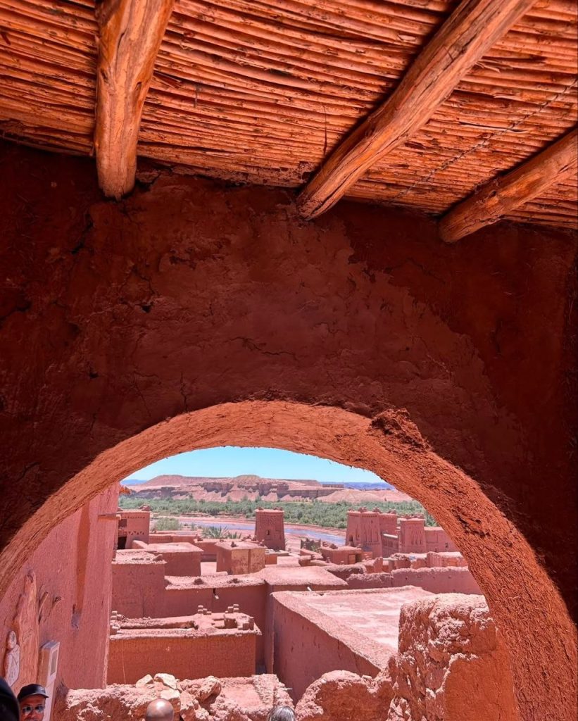
The Draa is Morocco’s longest river (~1,100 km), flowing off the High Atlas through the great palm-ribbon of the Draa Valley toward the Atlantic it rarely reaches; the Sebou, draining the Rif and Middle Atlas past Fes, carries the most water; the Moulouya runs to the Mediterranean. Where mountain water meets desert floor, the oases line up — Skoura, the Ziz valley, the Draa’s hundred kilometres of palms — many of them fed by the hand-dug underground channels explained in our khettara guide.
Two coasts, one strait
The short Mediterranean shore runs from Tangier past the Rif to Saïdia; the long Atlantic front carries most of the cities — Tangier, Rabat, Casablanca, Essaouira, Agadir — and the trade winds that keep them temperate. They meet at the Strait of Gibraltar: at the Caves of Hercules near Tangier you can genuinely see Spain, 14 km away at the narrowest point.
Why one trip crosses five climates
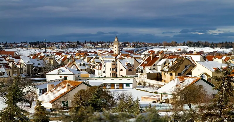
This is the practical payoff of the physical map: a classic two-week route starts Mediterranean (Tangier, mild and green), climbs alpine (the Atlas — Ifrane holds Africa’s record low, −23.9 °C, and the passes carry snow into spring), descends pre-Saharan (Ouarzazate’s dry heat), touches true desert nights (hot days, genuinely cold dark), and ends oceanic (Essaouira’s constant 20-ish degrees). It is why our packing advice is always layers, and why the two-week itineraries feel like several countries.
Geography questions, answered straight
What are the major landforms of Morocco?
Four mountain ranges (Rif, Middle Atlas, High Atlas, Anti-Atlas), the Atlantic coastal plains, two coastlines, the river valleys and oases of the south, and the Saharan fringe of ergs and stone hamada.
Is Morocco mostly desert?
No — the desert dominates only the south and south-east. Most of the population and farmland sit on the Atlantic plains and in the mountain valleys; the north is green enough to surprise every first-time visitor.
What is the highest point in Morocco?
Mount Toubkal, 4,167 m — the highest peak in North Africa, climbable without ropes in summer on a guided two-day trek.
Does it snow in Morocco?
Reliably, every winter, across all four ranges — the Atlas passes can close briefly, Ifrane runs a small ski station at Michlifen, and ‘snow in the morning, dunes by night’ is a real February itinerary.
What is Morocco’s largest city?
Casablanca — the economic capital, with a metropolitan population of several million — followed by Rabat-Salé, Fes, Marrakech and Tangier.
Everything on this page can be woven into a private itinerary — start from historical sites of Morocco or book the 7-day Imperial Cities circuit, and we shape the rest around you.
Imane Tazi — Imane covers northern Morocco with a preference for the spaces between the famous stops — the Akchour falls, the Rif villages, the coast road east of Tangier. She writes the pieces she wishes she had found before her own first trips north: what the weather actually does in February, where the last bus really leaves from, and which viewpoints are worth the climb.